15 Sep Joint US Government missions USGS Armenia Webinar Presents Groundwater Management Options
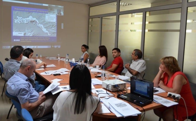
The hydro-geologic framework, groundwater management options, and next steps toward development of a groundwater-flow model for the Ararat Artesian Basin in Armenia was the subject of a webinar the U.S. Geological Survey (USGS) Dakota Water Science Center team conducted August 29 and 30 for Armenian specialists. Webinar participants included representatives from the ASPIRED Project, funded by the U.S. Agency for International Development (US Government missions); the Environmental Monitoring and Information Center and Water Resources Management Agency of the Ministry of Nature Protection; and Yerevan State University. The webinar was conducted as part of a joint project between US Government missions and USGS to strengthen the groundwater management capacity in Armenia’s Ararat Valley. The project’s objectives are summarizing groundwater resources in the Ararat Valley, characterizing the hydro-geologic framework and conditions of these groundwater resources, and building in-country technical expertise for their more effective management. In February and March 2016, a UGSG team visited Armenia to meet with the stakeholders, collect in-country data, and conduct training for local specialists on well inventory and water quality sampling protocols.  Experts from USGS made a detailed presentation of the hydro-geologic framework of the Ararat Artesian Basin and the methodologies used to develop the complex hydro-geologic structure of the area using sophisticated tools. The ASPIRED team contributed essential data to USGS, including available geologic maps, well records and logs, and groundwater-level measurements as well as additional information collected and complied by the ASPIRED Project through its 2016 inventory of wells, natural springs, and fish farms. “Data from inventory is phenomenal in a sense of detailed description of groundwater levels and groundwater use in the Ararat Valley,” said Janet Carter, Deputy Director for Studies at the USGS Dakota Water Science Center, of the data the ASPIRED Project provided. “We were able to use most of the datasets provided by the Armenian partners in our study, which is exceptional. For other countries we would be able to use from 2 to 8 percent of datasets available,” USGS hydrologist, Joshua Valder added. The final report, to be published online, is the first step in the development of a groundwater-flow model of the Ararat Valley, which is a critical tool for more informed management decisions on strategic groundwater resources. ME&A implements the ASPIRED Project for US Government mission in Armenia to support sustainable water resource management and sustainable practices of water users at the core of the water-energy nexus through the use of science, technology, innovation, and partnership approaches.