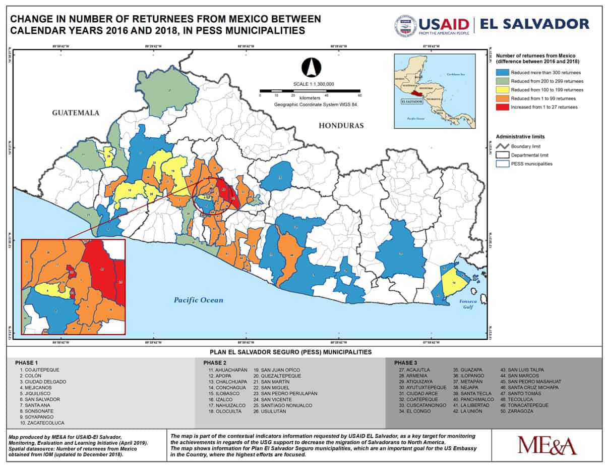
30 May, 2019 in Geospatial ME&A Submits 8 GIS Maps from El Salvador ME&L Project to 2019 Esri User Conference
22 April, 2019 in Geospatial, Project News Making Better Decisions Using GIS and Contextual Tools for Mapping
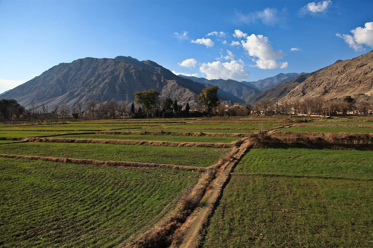
13 March, 2019 in Geospatial, Project News ME&A-Led Team Uses Remote Sensing and GIS to Evaluate Agricultural Project in Afghanistan
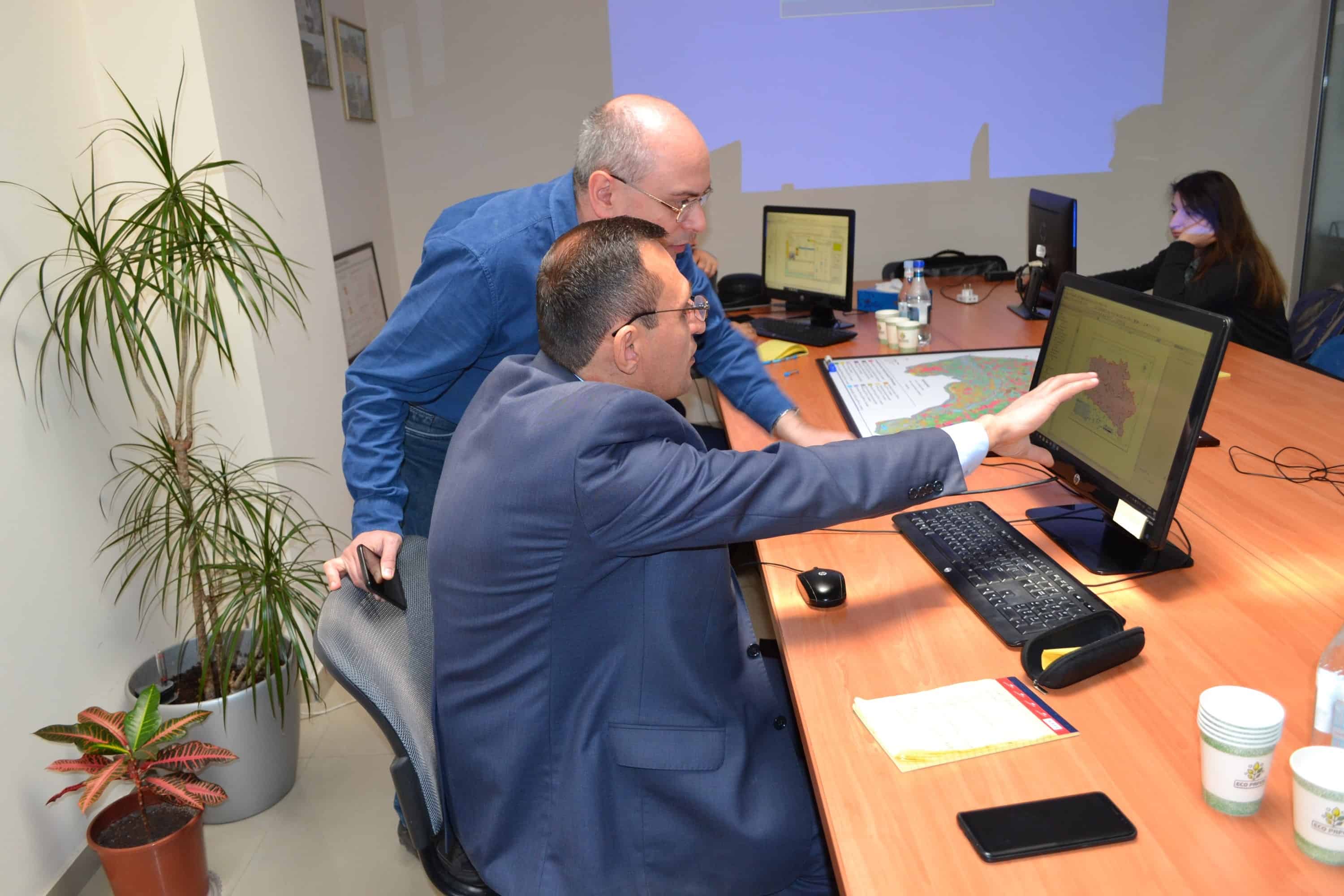
11 February, 2019 in Geospatial, Project News ASPIRED Builds the Capacity of Armenian Water Specialists in State-of-the-Art Technologies
27 December, 2018 in Project News US Government Assistant Administrator Visits Project Re-using Water from Fish Farms for Irrigation in Armenia
02 August, 2018 in Company News ME&A Explores GIS Innovations in Location Intelligence at Esri User Conference
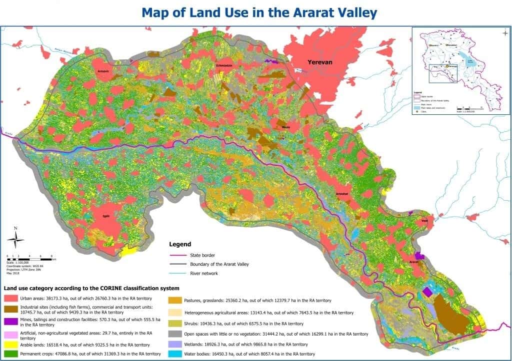
28 June, 2018 in Geospatial, Project News US Government and ASPIRED Thanked for Land Cover and Land Use Classification of Ararat Valley
01 February, 2018 in Geospatial, Project News Making Better Decisions Using Geographic Information Systems
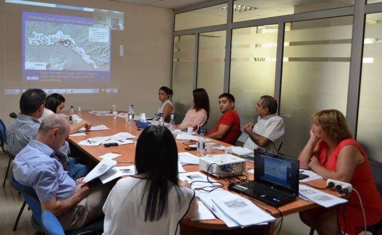
15 September, 2017 in Geospatial, Project News Joint US Government mission in USGS Armenia Webinar Presents Groundwater Management Options
08 March, 2017 in Geospatial, Project News ME&A Conducts Baseline Assessment of the US Government mission in Uganda Malaria Action Program for Districts (MAPD)
03 August, 2016 in Company News ME&A Awarded 5-Year US Government mission in El Salvador M&E&L Contract