Geospatial Technology Group
CLIENT: US Government missions and others
COUNTRY: Worldwide
PRACTICE AREA: Cross-cutting across all practice areas
TIME PERIOD: Ongoing
Overview
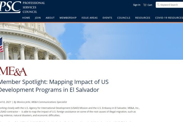
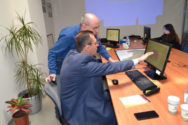
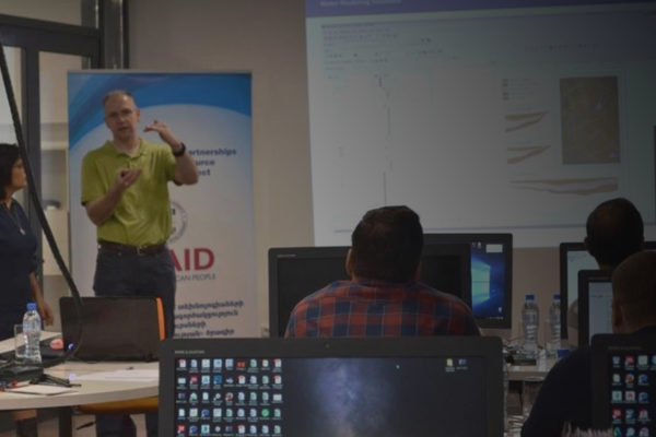
ME&A’s Geospatial Technology Group (GTG) provides geospatial services across ME&A’s practice areas to enhance the design, implementation, and monitoring and evaluation of development programs. ME&A has used its Geographic and Information Systems (GIS) resources to support US Government missions projects and evaluations in more than a dozen countries. Integrating GIS with robust, custom solutions assists ME&A clients in making data-driven decisions to improve coordination and development outcomes. The GTG also offers technical training and capacity building in geospatial technologies and practices.
Tools and Activities They Support
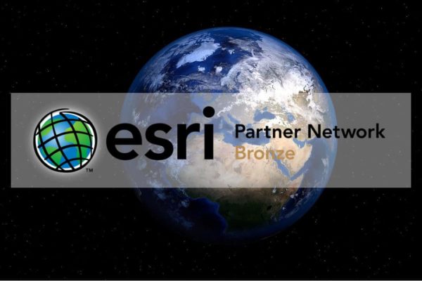
The GTG’s products and services geolocate and analyze development project activity and other key data, display the results in maps and dashboards, and harness an array of analytical tools and visualization techniques to reveal and track relationships and trends. The ESRI ArcGIS suite is the foundation of much of this work. The GTG is an Esri bronze partner with access to Esri early adopter programs, demo and marketing licenses, training, certifications, and technical support. ESRI ArcGIS suite tools and their uses include:
- ArcGIS Survey 123: Used to design survey forms, collect field data rapidly, support exploratory analysis and instant reporting, and build charts and tables in real time.
- ArcGIS Online: Used to build interactive maps via a secure GIS web platform. Also stores data online; links data across all Esri tools; and streamlines collecting, managing, analyzing, and visualizing data to reveal new perspectives and insights.
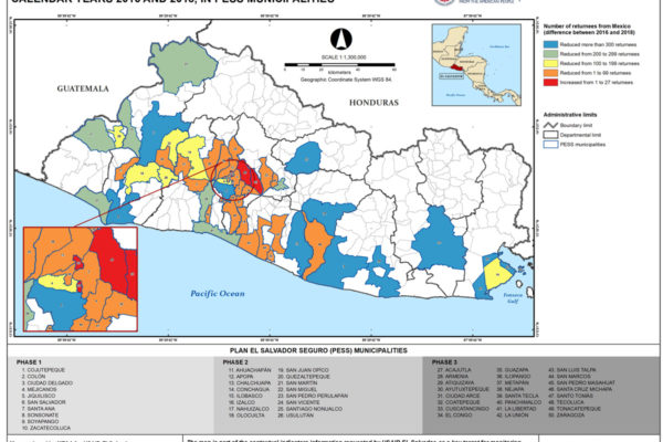
- ArcGIS Pro, ArcGIS Map Viewer, ArcGIS Dashboards, and ArcGIS Insights: Used to build GIS desktop platforms, dynamic and interactive maps, thematic maps, and geodatabases as well as support analyses of cost-effective geospatial and non-geospatial data for evaluations.
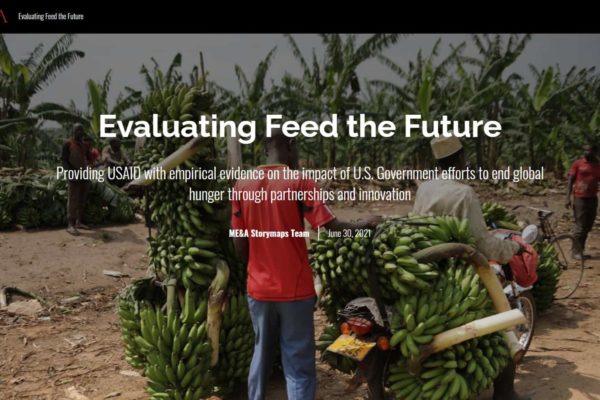
- ArcGIS Instant App Builder, ArcGIS Experience Builder, and ArcGIS Story Maps: Used to develop web pages and web apps that make it easy for audiences to interact with maps and data.
- ArcGIS Hub and ArcGIS Community Analyst: Supports data visualization, engagement, and knowledge management/Collaborating, Leaning, and Adapting platforms that manage data, documentation, and information collaboratively and support the cataloging and secure sharing of data, documents, calendars, and geospatial resources.
In addition to the ESRI ArcGIS suite, the GTG has extensive experience working with other data collection and analysis tools, including ATLAS.ti, Dedoose, Kobo Toolbox, NVivo, Power BI, SPSS Statistics, and Survey Monkey.
Funding
The GTG is available for a needs analysis consultation and will tailor products and services to clients requirements, environments, and budgets.